
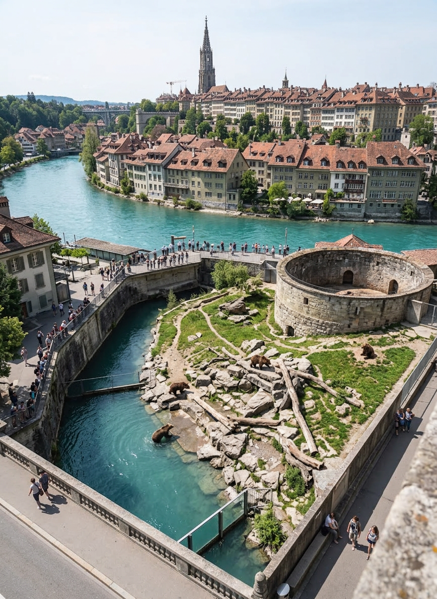
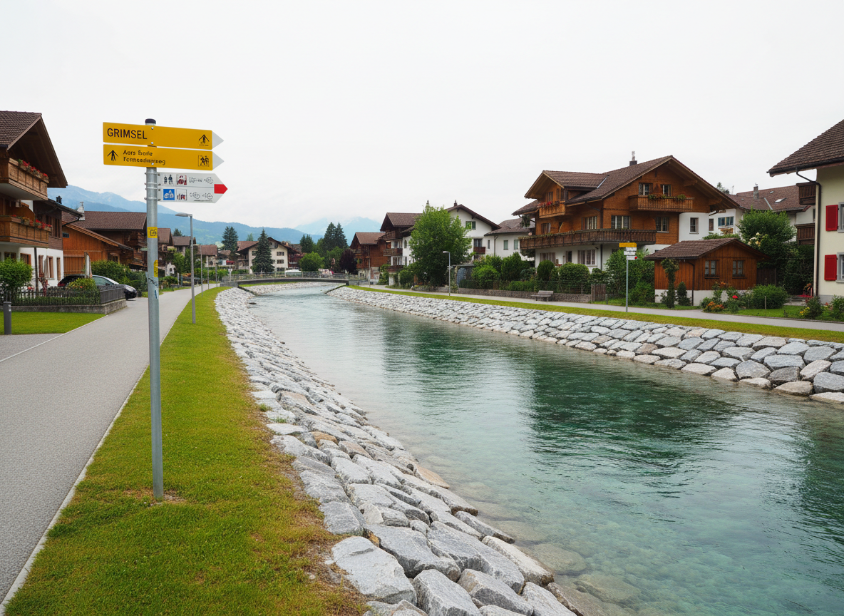
Aarewanderung
Alle Infos zur Flussroute von der Rheinmündung bis zur Grimsel: Etappen, Karten, GPS-Tracks, Fotos und praktische Hinweise für unterwegs.
Über
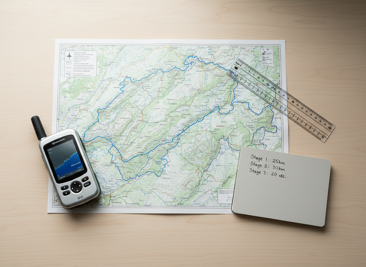
Etappenübersicht entlang der Aare
Plane deine Flusswanderung mit einer klaren Etappenübersicht: Distanz, Gehzeit, Höhenmeter und Schwierigkeit jeder Strecke von der Aaremündung am Rhein bis hinauf zur Grimsel kompakt zusammengefasst.
Etappenberichte Blog
Downloads
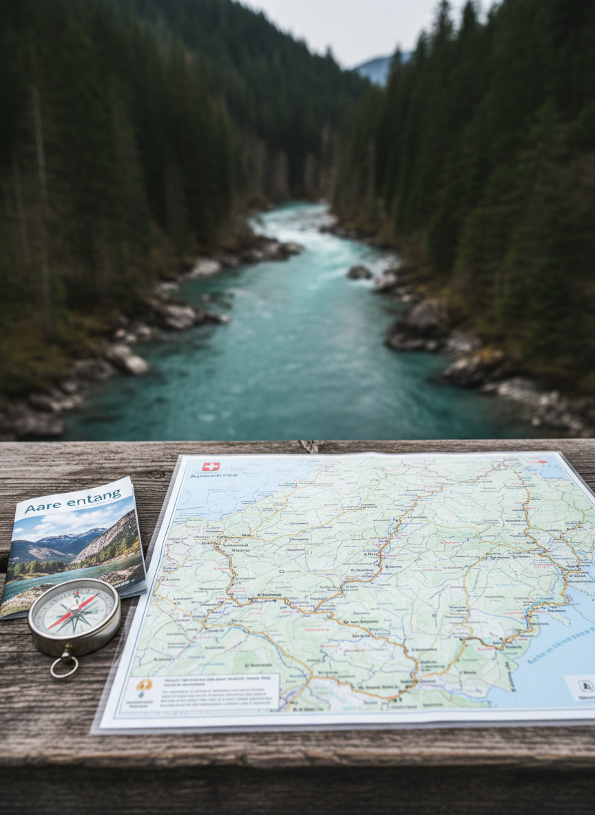
Hier findest du kompakte Übersichtslisten zu allen Etappen sowie PDF-Blätter zum Ausdrucken mit Karten, Profilen und wichtigen Kontaktdaten – ideal für die Planung zuhause oder als Begleiter unterwegs entlang der Aare.
Aarewanderung
Alle Infos zur Flussroute von der Rheinmündung bis zur Grimsel: Etappen, Karten, GPS-Tracks, Fotos und praktische Hinweise für unterwegs.
Über
Etappenübersicht entlang der Aare
Plane deine Flusswanderung mit einer klaren Etappenübersicht: Distanz, Gehzeit, Höhenmeter und Schwierigkeit jeder Strecke von der Aaremündung am Rhein bis hinauf zur Grimsel kompakt zusammengefasst.
Etappenberichte Blog
Downloads
Hier findest du kompakte Übersichtslisten zu allen Etappen sowie PDF-Blätter zum Ausdrucken mit Karten, Profilen und wichtigen Kontaktdaten – ideal für die Planung zuhause oder als Begleiter unterwegs entlang der Aare.
